Vog? What is that? Well, fog is tiny suspended droplets in the air, while vog are suspended particulates from volcanoes. This volcanic air pollution casts a hazy scene near the Hawaiian Islands as sulfur dioxide from the volcanoes mix with oxygen and water vapor in the atmosphere to form tiny sulfate particles. These particles can reflect the sunlight, making the extent of vog detectable by satellites, such as in this example from 2008.

Image from MODIS on 2 December 2008 showing the milky haze around the Hawaiian Islands indicating vog. Image courtesy of NASA’s Earth Observatory: http://earthobservatory.nasa.gov/IOTD/view.php?id=36089
While the vog in this example was an extreme case, from the ground, these particulates can create a hazy view. This picture was taken by Stephen Green on a plane near the Kona airport on the Big Island of Hawaii, showing an example of the haze.

Stephen Green (Imaginscape Photography), Kona, Hawaii, 1 Apr 2015
Notice how the haze is trapped in a shallow layer near the ground. This happens because of what’s called an inversion, where the temperature increases with height instead of typical decreasing. This “trade inversion” provides a cap to the vertical growth of clouds, which is why the cumulus clouds in this photo remain shallow in this layer. This stable scenario forms when winds are weak, so the vog persists in this shallow layer of stagnant air near the surface. Balloons launched twice a day from locations around the U.S., including Hawaii, carry instruments into the atmosphere that measure the vertical profile of temperature, moisture, pressure, and winds. An example of these measurements from Hilo, on the day this photo was taken (1 April 2015), shows the existence of this temperature inversion, with dry air above it and moist, relatively calm conditions below.

A study by Guanxia et al. [Guangxia Cao, Thomas W. Giambelluca, Duane E. Stevens, and Thomas A. Schroeder, 2007: Inversion Variability in the Hawaiian Trade Wind Regime. J. Climate, 20, 1145–1160. http://journals.ametsoc.org/doi/full/10.1175/JCLI4033.1] used these observations from Hilo and from another location on the island to determine how often this trade wind inversion occurred. They found that the inversion occurs approximately 82% of the time at each station. The following figure from their paper also shows the height and strength (determined by temperature) of the inversion varies based on time of the year.

Annual cycles of the (a) inversion base height and (b) inversion strength at Hilo and Līhu‘e, Hawai‘i, based on data from 1979–2003. (Figure 6 from Guangxia et al. 2007)
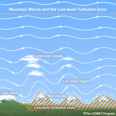
Here is another picture from Stephen of an obstructed view of the sky due to vog. In this example, haze from the Pu’u O’o eruption limited the view of lenticular clouds near Mauna Kea on the big island on 8 February 2015.

Stephen Green (Imaginscape Photography), Hawaii, Feb 2015
These inversions aren’t present all of the time as weather systems can move through and eliminate the stable layer, provide moisture, and remove the vog particulates. In these cases, the view on the big island is clearly stunning.

Stephen Green (Imaginscape Photography), Hawaii, March 2015
The upside to this inversion is that the vog and clouds are trapped in the lower part of the atmosphere, leaving a crystal clear view of the sky above. The Mauna Kea observatory is truly a sight to behold and we’ve had the fortune to gaze at the stars from that location on one of these clear nights.
Check out more of Stephen’s pictures on his Facebook page: https://www.facebook.com/stephengreenimages?fref=ts